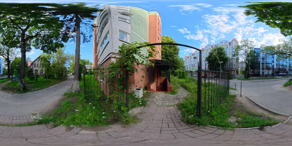
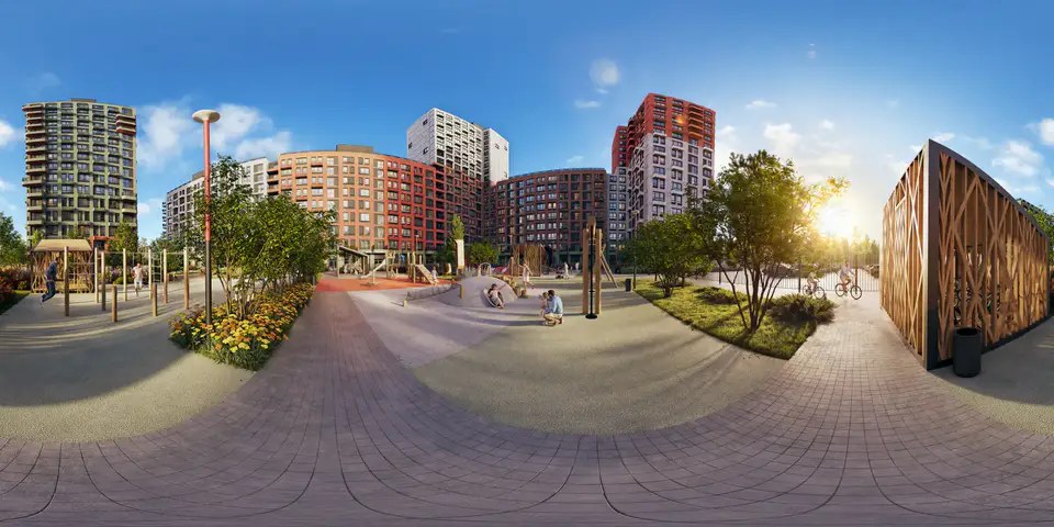
 Real estate
Let buyers tour the property before they visit.
Buyers, tenants and investors explore the scanned space room by room, on any device — straight from your listing or website.
Upload the scan, and VPano builds a 3D tour that opens with a simple link — on a phone, a laptop or your website. Nothing for your client to install.
Real estateBuyers, tenants and investors explore the scanned space room by room, on any device — straight from your listing or website.
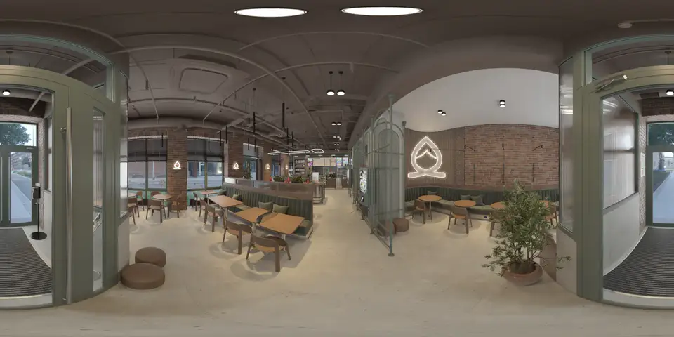 Archviz studios
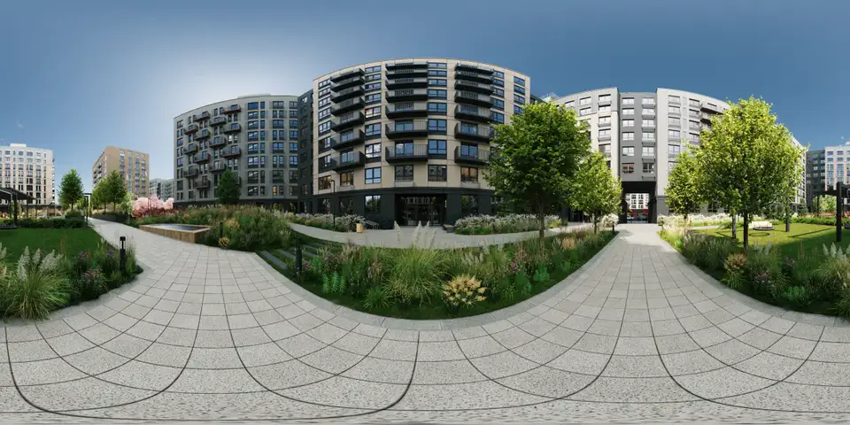
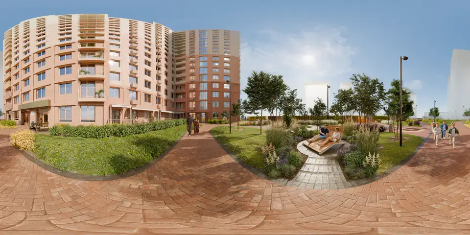
Turn a scan of the existing space into a tour, and your rendered scenes from Cinema 4D or 3ds Max as well — share both with your client.
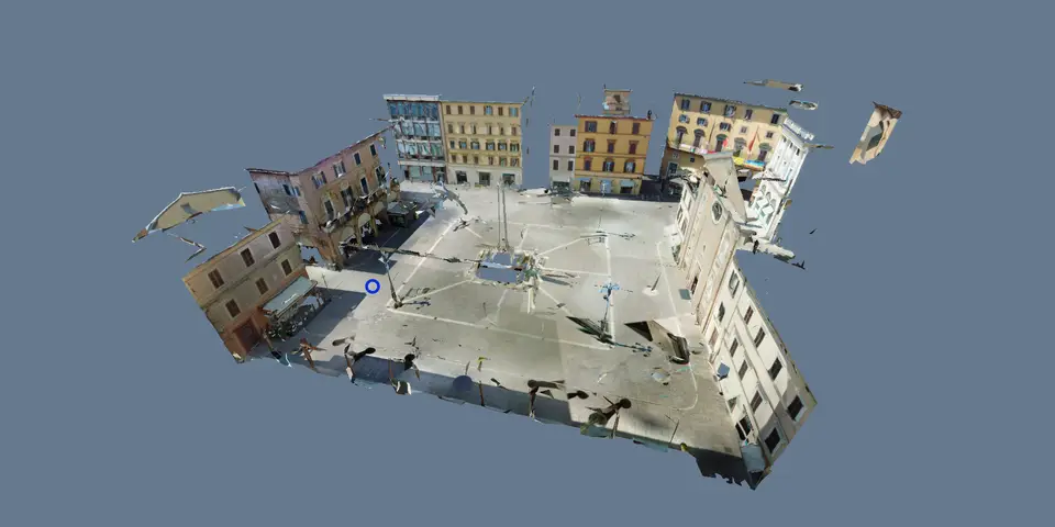 Surveying firms
Your client gets the scan as a tour they can open with a link — with floors, a minimap and measurements right in the browser.
Export the project from Leica Cyclone REGISTER 360 as E57, with the panoramas included.
VPano places a viewpoint at every scanner position and builds the 3D model. Add floors, labels and points of interest.
Send it to your client or put the tour on your website.
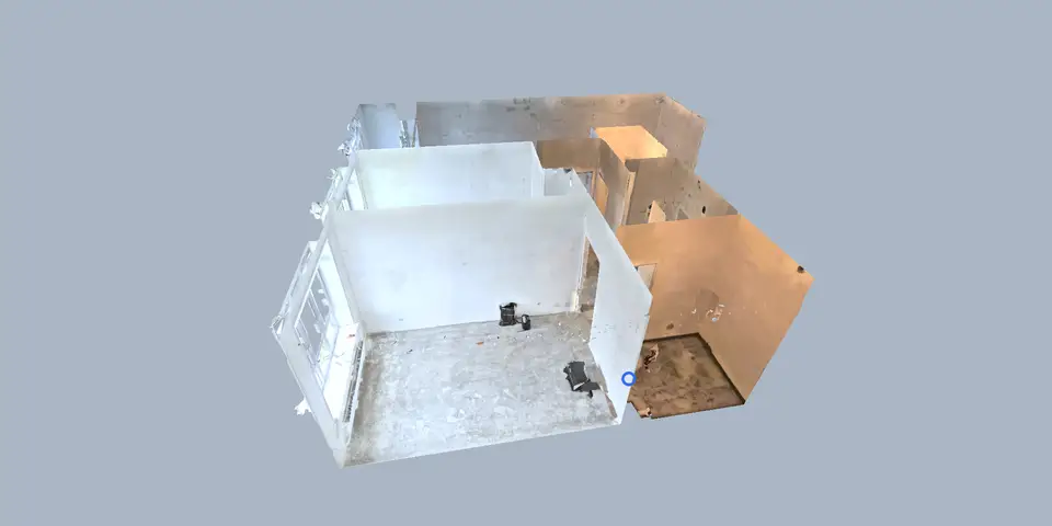
VPano places a viewpoint at every scanner position of an E57 project and builds a 3D model from the scan. Visitors move between viewpoints with transitions that follow the 3D geometry, turn the model to see the building from outside, switch to a 2D plan and measure distances and areas in the browser. The demo tour shows Piazza della Repubblica, scanned with a Leica laser scanner and registered in Cyclone REGISTER 360.
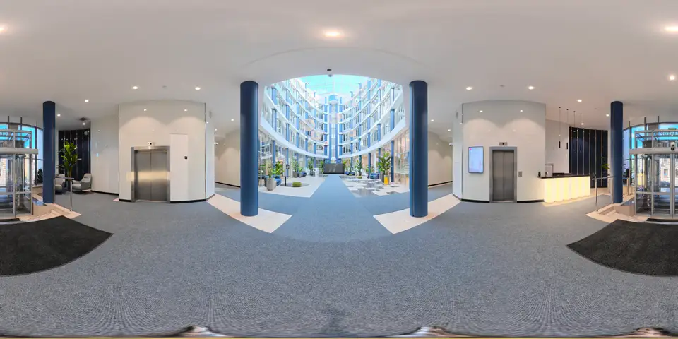
Look around from every scanner position.
Transitions follow the real shape of the space.
Turn the 3D model and see it from outside.
Always clear where you are, even in large buildings.
Distances and areas — as accurate as your scan.
One click starts an automatic route through the tour.
Scan import is switched on per account. Tell us a little about your project — we set it up, you upload your scan and see the result.
Working in Cinema 4D or 3ds Max? Mark the viewpoints in your scene, add your rendered panoramas and export — the plugin hands everything to VPano as one tour.
E57 scan import without an enterprise contract — switched on per account.
Sign up in English or German and build tours while you try. Paid plans are set up on request and billed by invoice — to fit your projects.
VPano is a web platform that turns E57 laser scans from Leica Cyclone REGISTER 360, and rendered scenes from Cinema 4D and 3ds Max, into 3D virtual tours that open in any browser. Real estate companies, archviz studios and surveying firms use it to show a space to their clients with a link.
E57 files with panoramas, exported directly from Leica Cyclone REGISTER 360. Scans without panoramas, handheld or mobile scanners without fixed positions (such as Leica BLK2GO) and files re-saved in other programs are not supported.
No — VPano shows a tour: the panoramas from each scanner position and a 3D model built from the scan. For working with the point cloud itself you need specialised software.
Yes, distances and areas. You decide in the settings whether visitors see the measure button. Accuracy depends on the original scan.
No. The tour is for showing the space and agreeing decisions with your client. BIM is still built from the point cloud in your own software.
Paid plans start at $99 per month with 3 tours included. They are set up on request and billed by invoice. Start with a free account and get in touch when you need more.
No. The tour opens in a web browser on phones, tablets and computers. Share it as a link, embed it on your website, or, on request, get it as a ZIP for your own server for a one-time USD 250 per tour (an active plan is still required).