E57 to 3D tour: share a laser scan as a virtual tour in the browser
Upload an E57 file with panoramas from Leica Cyclone REGISTER 360. VPano places a viewpoint at every scanner position, builds a 3D model and gives you a tour your clients open with a link.
From point cloud to virtual tour
An E57 file usually comes from a surveyor or a laser scanning firm, and it does not open with a double-click. Point cloud software is made for specialists. Your client, investor or architect usually does not need the point cloud at all: they need to see the building.
VPano turns an E57 laser scan from Leica Cyclone REGISTER 360 into a 3D tour that opens in any web browser. There is nothing to install: the tour runs on a phone, a tablet or a computer. If you want to know more about the format itself, read our guide E57 file format: what it is and how to open it.
Which E57 files work
VPano reads E57 files exported directly from Leica Cyclone REGISTER 360 with the panoramas included. When you export, enable image export so that the station panoramas end up in the file.
Not supported:
- E57 files without panoramas, containing only a point cloud;
- handheld or mobile scanners without fixed scanner positions, such as Leica BLK2GO;
- E57 files re-saved in other programs, where images and station positions may be lost.
Not sure about your file? Request an E57 test and we will check it.
What VPano builds from the scan
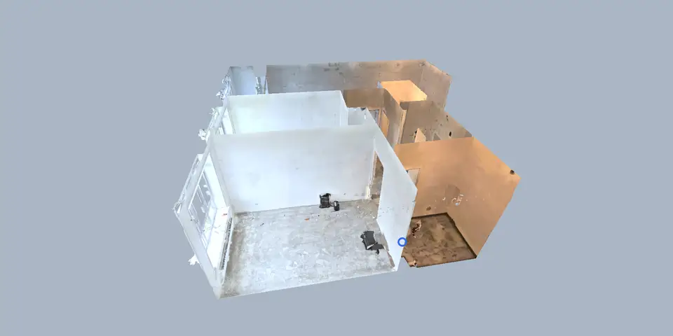
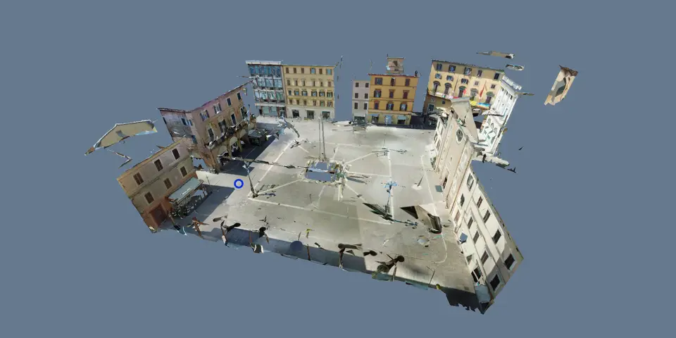
VPano places a viewpoint at every scanner position of an E57 project and builds a 3D model of the space from the scan. In the finished tour, visitors:
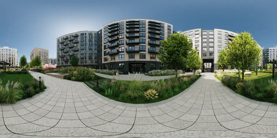
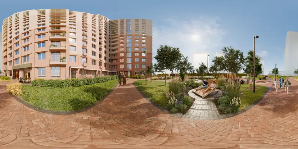
- look around from every scanner position;
- move between viewpoints with smooth transitions that follow the 3D geometry;
- turn the 3D model and see the whole building from outside;
- switch to a 2D plan;
- use floors and a minimap to see where they are;
- start a guided tour that follows a route through the viewpoints;
- measure distances and areas, or use the laser distance meter, if you show the measure button.
Measurements are as accurate as the original scan. You decide in the settings whether visitors see the measure tool. More on this in Measure distances in 3D tours.
What a scan tour is not
VPano is not a point cloud viewer and not a BIM replacement. Your client sees the panoramas and a 3D model built from the scan, not the point cloud itself. Drawings and BIM models are still built from the point cloud in your own software. The tour is for showing the space and agreeing decisions with your client.
From scan to shared tour in three steps
- Export the registered project from Leica Cyclone REGISTER 360 as E57, with panoramas.
- Upload the file to VPano. Add floors, labels and points of interest.
- Share the tour as a link, embed it on your website, present it under your own brand or, on request, get it as a ZIP for your own server for a one-time USD 250 per tour (an active plan is still required).
Availability and pricing
E57 import is switched on per account on request, without an enterprise contract. Paid plans start from $99 per month, 3 tours included, set up on request, billed by invoice. See pricing.
Working with rendered scenes instead of scans? Read about 3D tours from Cinema 4D and 3ds Max. If you only need panoramas without a 3D model, a 360° panorama tour is the simpler option.
Questions
Can I open an E57 file online?
Working with the point cloud itself requires specialist software. If the goal is to show the scanned space, VPano turns the E57 file into a 3D tour that opens in the browser with nothing to install.
Do I need an enterprise contract for E57 import?
No. E57 import is switched on per account on request. Paid plans start from $99 per month with 3 tours included and are billed by invoice.
Does it work with handheld or mobile scanners?
No. VPano needs fixed scanner positions with panoramas, so handheld and mobile scanners such as Leica BLK2GO are not supported.
Can my client see the point cloud?
No. The tour shows the panoramas from each scanner position and a 3D model built from the scan, not the point cloud.
How accurate are the measurements?
Measurements are as accurate as the original scan. You decide whether visitors see the measure tool.
Test with your own scan
Tell us a little about your project. We switch on E57 import for your account, you upload your scan and see the result as a tour.
Request an E57 test →