The E57 format: what it is and how to open an E57 file
A file with the .e57 extension usually comes from surveyors or from the company that laser-scanned a building. You can't open it with a double-click: ordinary image viewers and office software don't know the format. Here is what the E57 format stores, which programs open it, and how to show a scan to a client who has no specialist software.
What the E57 format is
E57 is an open exchange format for 3D scan data, defined by the ASTM E2807 standard. It is vendor-neutral: a file exported from one manufacturer's software can be read by others.
A single E57 file can contain:
- a point cloud: coordinates of surface points, often with color and intensity;
- stations: the position and orientation of the scanner at each setup;
- images: photos or panoramas captured by the scanner at each station.
The last item is optional: many E57 files contain only the point cloud. For some tasks that is enough, for others it isn't.
How to open an E57 file
E57 files are opened with point cloud software. The main groups are:
- Scanner manufacturer software, such as Leica Cyclone: station registration, processing and export.
- Point cloud viewers and processing tools, such as CloudCompare (open source).
- CAD and BIM: Autodesk ReCap to prepare the point cloud for Revit and AutoCAD.
All of them are made for specialists: the point cloud is used for measurements, drawings and modeling.
How to export E57 with panoramas from Leica Cyclone REGISTER 360
- Open the registered project in Leica Cyclone REGISTER 360.
- Go to export and choose the E57 format.
- Enable image export so the station panoramas are included in the file.
- Save the file.
Export the E57 directly from Cyclone REGISTER 360. If you re-save the file in another program, the images and station positions may be lost.
How to show a scan to a client without any software
A client, investor or architect often doesn't need the point cloud; they need to see the building. For that, an E57 file with panoramas can be turned into a 3D tour from the laser scan: VPano places viewpoints at the scanner stations and builds a 3D model from the scan. The tour opens from a link in the browser, on a computer or a smartphone.
In the tour, your client sees:
- the panoramas from every station, with smooth transitions between viewpoints;
- an exterior view showing the whole model;
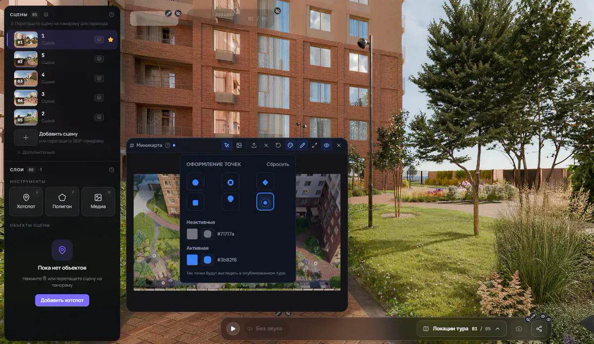
- floors, a mini-map and a guided tour through the viewpoints;
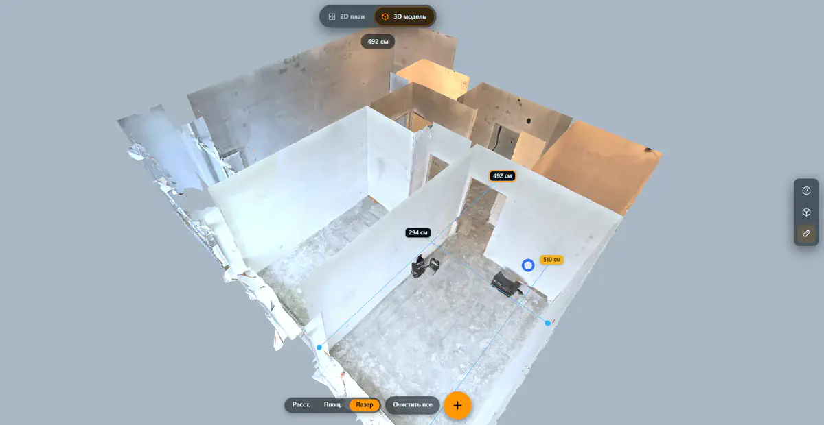
- measurements right in the tour, if you enable them: distance, area and a laser distance meter.
Supported data comes from Leica terrestrial scanners: BLK360, BLK360 SE, RTC300, RTC500 and RTC700, processed in Cyclone REGISTER 360 and exported to E57 with panoramas.
Not suitable:
- E57 files without panoramas, containing only a point cloud;
- data from handheld and mobile scanners without fixed scan stations, such as Leica BLK2GO;
- E57 files that were re-saved and lost their images and station positions.
Have an E57 with panoramas from other software or another scanner? E57 import is enabled per account on request. Request an E57 test and we will check your file.
Frequently asked questions
Can I open an E57 file online?
Working with the point cloud requires specialist software. If the goal is to show the scanned property, a 3D tour is more convenient: it opens in the browser with nothing to install.
How does E57 differ from LAS and RCP?
E57 is a neutral exchange format that can hold both the point cloud and the station images. LAS is more commonly used for airborne laser scanning data. RCP is the project format of Autodesk ReCap.
Can I make a 3D model from E57?
BIM models and drawings are built from the point cloud in CAD software; that is separate specialist work. A 3D tour does not replace a BIM model: its purpose is to show the property and agree on decisions with the client.
Try it now: request an E57 test, and once import is enabled for your account, upload your E57 with panoramas and send your client a link to the tour.
Leica, Cyclone REGISTER 360, BLK360, BLK360 SE, RTC300, RTC500, RTC700 and BLK2GO are trademarks of Leica Geosystems AG. VPano is not affiliated with Leica Geosystems and is not an official partner.
Test it with your own scan
E57 import is switched on per account. Send us a short request and we set it up for you.
Request an E57 test →